Topography          

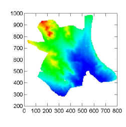
    Our study site consists of adobe hills and washes (for pictures see here).  Here you see the topographic pattern at the site (red is high elevation, blue is low).  The scale is in meters.  There are a series of hills (about seven of them) on, or immediately adjacent to the study site.  The importance of the hills is that, on their mating flight, males ants fly to the tops of hills, emitting pheromones to attract females and starting large mating swarms.  The dispersing females then come from the hilltops.  The most important hill for mating is just off of the study site (at about 750, 780) on the map.


      The nearest National Weather Service station is in Grand Junction, about 35 kilometers to the east.  They receive an average of about 8 inches (20 cm) of precipitation per year. The Grand Junction weather station is much nearer Grand Mesa and probably receives considerably more rainfall than our site.  During the summer, when we have a rain gauge, this is certainly true.  The study site probably receives about 6 inches (15cm) of rainfall annually.  There is a summer monsoonal rainfall pattern with little rainfall in late May and June.  The monsoonal flow from the Gulf of California arrives sometimes in July or August and the bulk of summer rain occurs as thunderstorms.  We have occasional flash floods that plaster colonies with mud.  Even without flash floods, the mortality of young colonies in washes can be higher due to flooding.

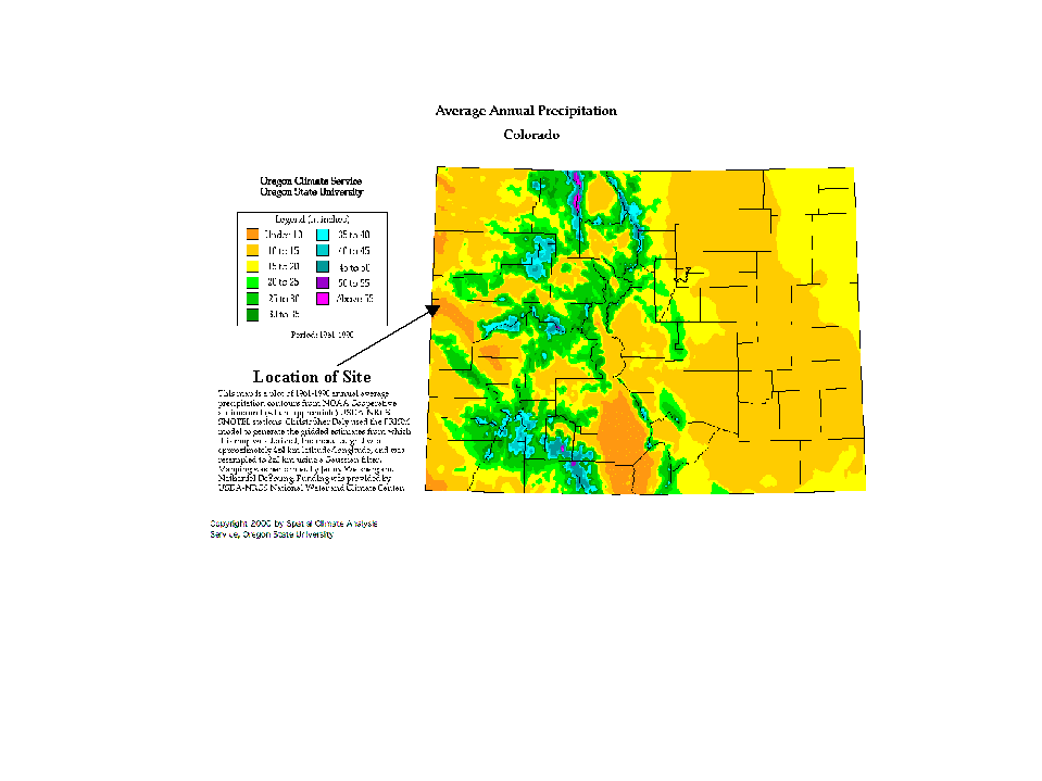
    The topography also influences the vegetation at the site.  Check here for the vegetation effects.